Miles Without Stiles Brent Island
Route Details
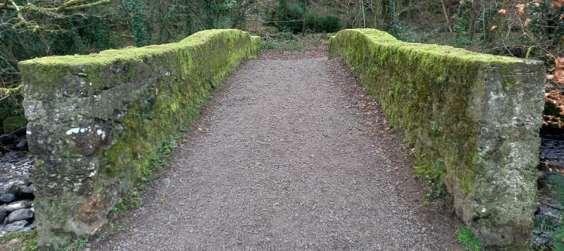
Route type: For All. A tarmac route leading down to easy gated access and gravel path onto Brent Island. Linear, a ‘there and back route’ – OS Explorer OL28 What 3 Words: raced.crab.refer
Disabled Ramblers Category Level: 1
Distance: Total distance of 1 km max.
Start point: Tarmac lane on south side of St Petrock’s Church, South Brent SX 696 601. What3Words: raced.crab.refer
Getting there: There is a designated disabled parking bay outside the Co-op in Church Street. Time-limited parking is available along Church Street itself. More public car parking in village.
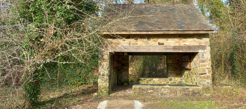
Facilities: Information board, benches and shelter on island and disabled public toilets next to Coop car park (bottom of Stockbridge Lane TQ10 9AA, SX 698 601 What3Words: remake.recitals.laptops).
Download routeDirections
- From the village, follow level narrow lane below church, bear left on bend down to wooden kissing gate on RHS at bottom of hill (where tarmac ends).
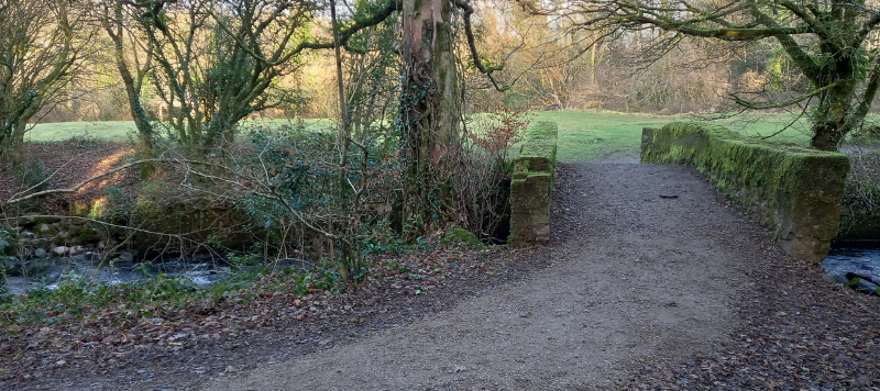
- Go through gate and follow flat, wide gravel path onto the island.
- Follow same route back to village.
Did you know?
- The island sits in the River Avon which begins its life at Avon Head Mires.
- The Avon river flows all the way to Bigbury-on-Sea, a journey of 25 miles.
- Keep an eye out for dippers, grey wagtails, and kingfishers along the river .
- The stone shelter at the southern end of the island is the old linhay.
Brent Island is owned and cared for by the Brent Island Trust.