Miles Without Stiles Okehampton Military Ring Road
Route Details
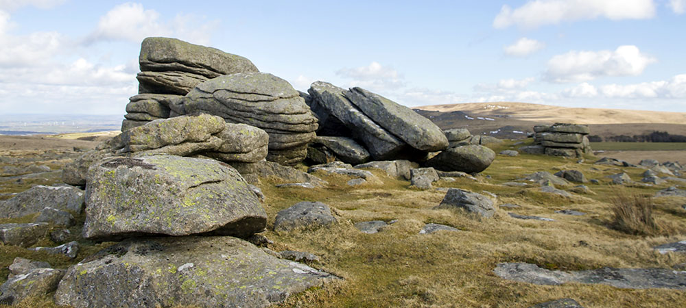
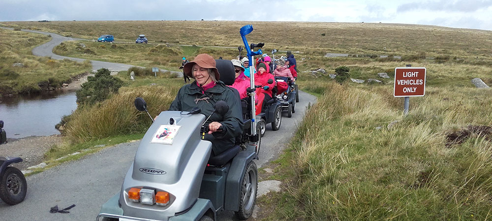
Route type: For some. A circular moorland route, rough gravel, hilly terrain and ford crossing.
Disabled Ramblers Category Level: 3
Distance: 10 km (5.5 miles)
Start point: Sandpits car park SX 596 923 (also known as Rowtor car park) What3Words: searching.pleasing.sleeping
Getting there: From the centre of Okehampton head south following red bordered road signs to Military Camp, this takes you over railway line and A30 up a steep winding road onto the moor. Bear left at the Military camp and follow the tarmac until the informal car-parking area at Sandpits is reached after about 800 metres.
Facilities: Nearest public toilets at Okehampton YHA (SX 592 943) or A30 Services
Download routeThe route encircles East Mill Tor and follows the circular military track running south from Sandpits car park to the head of the East Okement River and Okement Hill then back again via a downhill section and ford crossing, Deep Ford.
It is suggested that the route is followed in an anti-clockwise direction from the Sandpits parking area as this avoids wasting valuable battery power climbing to the high point at Okement Hill (564m) if done in a clockwise manner. Much of the route is on a rough gravel track with some tarmac sections and granite cross drains.
Important information:
- The route falls inside the active military training area and is unusable if red flags are flying. Check Dartmoor firing times before you visit.
- The ford crossing at Deep Ford can become impassable after heavy rain.
- Due to the open nature and altitude of this route it is very exposed and can be cold and windy. Come prepared with warm clothes and waterproofs.
Directions
- Leave car park and taking the track to your right (Rowtor is above you on your right-hand side).
- After 500m bear left following track directly south to New Bridge (1300m).
- Cross the bridge and follow the Black-a-ven Brook valley upstream.
- Gradually climb onto the southern flanks of East Mill Tor until a ‘cross-road’ of tracks is met (1.5km from New Bridge).
- Cross this track and head towards Okement Hill. At the 584m contour mark bear left (east) around the top of East Okement Head.
- At next main track junction bear left to Deep Ford (800m away).
- From Deep Ford follow the main track north to the next ford and bridge (2.8km).
- Keep bearing left (NW) to return to the car park at the start (500m).
Did you know?
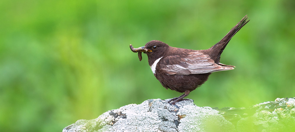
The area is particularly important for ground nesting birds including dunlin, golden plover and ring ouzel and has a long established military training history.